Alstonefield and its surrounding area

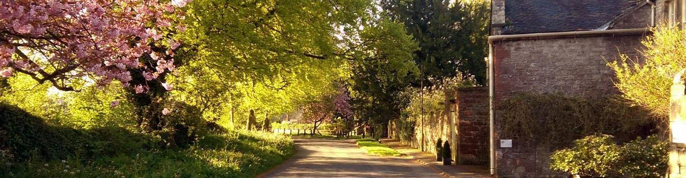
The Rakes, Alstonefield
Alstonefield is a small village in the Peak District National park, in an area known as the White Peak. The Peak District National Park covers 555 square miles and was the first of the National Parks, established in 1950. Alstonefield lies on the borders of Derbyshire and Staffordshire on the watershed between the valleys of the Dove and the Manifold rivers. It has less than 250 residents but it possesses such unity and confidence that it has won the best kept village in the Community Council of Staffordshire Award competition on numerous occasions.

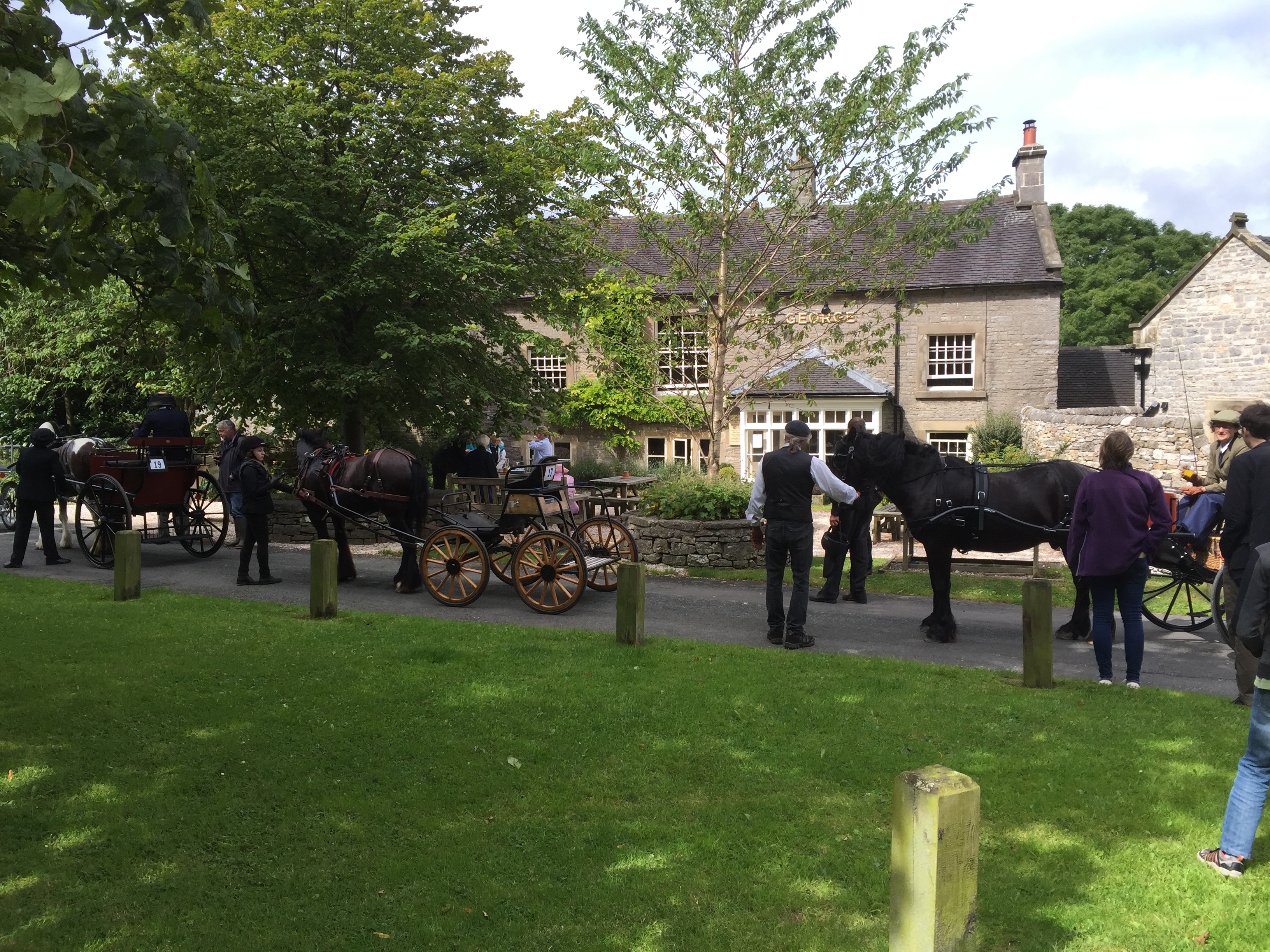
Best Kept Village Award
The fields are a rich, verdant green and the countryside is rolling between the spectacular valleys of the rivers of the Dove, the haunt of trout and a magnet to fishermen, perpetually flowing between the steep slopes of Wolfscote Dale and Dovedale with their dramatic rocky outcrops to the East and the, frequently dry, Manifold Valley to the West, both of which dip down abruptly. The outcrops in Dovedale have romantic names; Dovedale Castle, Lover’s leap, the Twelve Apostles, Lion’s Head rock and Tissington Spires while the natural caves are known as Pickering cave and the Dove holes. Wolfscote Dale is more open than Dovedale and the smaller rocky outcrops of the Peaseland Rocks look brighter in the sunshine.

Peaseland Rocks from Gypsy Bank
Manifold valley, which is just beyond the parish boundary, loses its river in dry weather and becomes a rocky bed. It has the prominent escarpment of Beeston Tor and the largest local cave, Thor’s cave in an escarpment that dominates the valley.
The main part of Alstonefield village is around
The George green
the picturesque village green with “The George” and the spreading trees. It is within easy distance of St.Peter’s Church and the old Hall, but it stretches along the Rakes; a name given to old Lead mining sites, which occupies the ridgeway between the two valleys.

St. Peter’s Church
The Parish of Alstonefield includes the hamlets of Hopedale, Stanshope and Milldale to the South, while it extends North almost up to the hamlet of Hulme End.
The hamlet of Hopedale has a pond which has never been known to dry and was the site of England’s first co-operative cheese factory. Twenty farmers started the Alstonefield Dairy Association in 1874 and began producing Derby cheese until transport improved and bigger dairies emerged which took the trade away.

Hopedale former cheese factory
Hopedale is a dry valley which runs from the hamlet of Hope to Dovedale, joining Dovedale at Milldale where Viator’s bridge, known to Isaak Walton, crosses the river to Derbyshire. The steeper side of the dale faces South and the path from Dale Bottom to Alstonefield Village is known as Sunnybank. The prominent barrow known as Steep Low is just to the West of the village and is famous because it is one of the last places in England where a gibbet was used for execution.

Steeplow, site of gibbet
The history of Alstonefield
The village of Alstonefield is built upon an ancient site. Its name is derived from the Saxon, meaning ‘Aelfstan’s open land’ and its Saxon occupation is indicated by the fortified hill farms, the remains of which can be seen on the West overlooking the Manifold valley and by the many lynchets, the name given to areas of the hillsides which were levelled so that crops could be grown. These are best seen when the sun is low in the early morning or in the evening.

Lynchets seen across Manifold Valley in the morning
The Peak district itself is named after the Saxon tribe of Pecstaetans or hill dwellers who occupied the region.
The Romans left evidence of their occupation in neighbouring towns and villages but none has been conclusively identified at Alstonefield, although Thomas Bateman, who excavated Steep Low, a very likely site for a barrow, in 1845, was told that some Roman coins had previously been seen there.
In 667 St.Chad passed through the area and in 892 St.Oswald, the Archbishop of York,after a period of pagan uprising visited the parish to perform the dedication of St.Peter’s and to renew confidence in the Church. The fragments of Saxon crosses of St. Peter’s are said to date from 900-920, very shortly after that visit.
The village was mentioned in the Domesday Book, 1086, and it was noted in the Latin shorthand of that time that “William holds from him 3 virgates of land. Land for three ploughs. In lordship 1; 1 villager with 1 plough.” The land was then held by Godwin but was given by William the Conquerer to Hugh d’Avranches his nephew who was created Earl of Chester. The Norman arch in the chancel of St.Peter’s church was built at about the same time and completed in 1100. In 1111 the de Malbancs held power at Alstonefield and, after founding Combermere Abbey in 1130 they gave the monks there the Parish of Alstonefield with the associated granaries which were at places now called granges, Gateham and Hanson within the parish boundaries with Newton and Wolfscote just on the periphery. Thus indicating that arable crops were then very valuable. In 1308 Alstonefield was granted a charter for a market but little more is known of the late medieval period. In 1538 parish registers started to be kept at Alstonefield and in 1571 the Harpur family started to acquire rights to the village and surrounding areas becoming in the eighteenth century one of the ‘rich list’ of those days, being among the 500 wealthiest families in the country.
The village was a centre of trade as many packhorse tracks passed close by and it served as a major conduit for Lead from the local mines, for Copper from Ecton on the edge of the parish, for salt from Cheshire and for Limestone, which was used, for fertilizer in acid soils. The packhorse routes were so well trodden that they formed hollow ways which can be seen crossing modern roads and sometimes even forming parts of those roads. The proceeds from the Ecton copper mine were sufficient to enable the fifth Duke of Devonshire to build the crescent at Buxton in 1780. Despite this affluence two years later in 1782 Thomas Gilbert’s Act of Union was passed which authorised adjacent parishes to combine to support workhouses for the old, the sick and the infirm. The three story workhouse, part of which is now euphemistically called ‘The Hermitage’, is currently residential property.
The hills were initially covered with woodland, usually the indigenous ash, but this was cleared for Lead smelting which was done either locally or on Millstone Grit, to the North. Clearing continued for grazing, then for the construction of houses and ships and, eventually for the manufacture of charcoal before coal became the preferred fuel of industry. As the hills were deforested pasture became available for grazing and many breeds of cattle as well as the familiar black-faced Derbyshire sheep were bred. Sheep grazing has limited re-aforestation and ensured an even grassy covering of the Peaks and Dales.
The village now is largely residential but there are active farms, some excellent craftsmen and a regular, large influx of tourists who enjoy and respect the countryside.
(See also the community’s Local History Group page.)
Flora and Fauna

Cowslips
The wild flowers which decorated the sides of the dales had waged a losing battle with the sheep but, with a decline in the sheep population and with wet weather encouraging growth there has been a resurgence. Celandines begin the display on the moister slopes and turn their flowers to the sun. Cowslips abound and their translucent yellow flowers embroider the South facing slopes of the dales during April and May. They are followed by wild violets nestling in short grasses under the soft early green leaves of the Ash trees.

Wild Orchids
Wild Orchids follow but are less easy to find, with their dusky purple flowers, leaves with dark brown spots and animal smell. Wild Garlic, so much less pungent than the cultivated variety, is soon bursting into its spiky flowers.

Wild garlic
Hawthorn and Blackthorn abound. Snowdrops and Daffodils planted by residents and a few Bluebells, once again planted by residents can be seen on verges and in woods.
The charm of the River Dove is enhanced by the delicate flowers of the Water Crowfoot nodding in the current.
The shy badgers, so loved by visitors, are rarely be seen but there are many sets within the boundaries of the village. Foxes are frequently seen but are now less common than in urban areas. Weasels and stoats can occasionally be spotted, especially in late Spring. While the field mouse gathers up what scraps can be garnered in the fields, in the barns and around the houses.
Birds are abundant. Dunnocks chatter in the hedgerows, chaffinches, green finches and bluetits congregate around the houses. While the stonechat and an occasional heron can be seen on the Dove.
With each Spring the ducks start their courtship, soon ducklings arrive and are both taught and protected by their parents from the often too successful crows.
Swallows come every Summer and chatter on the telephone wires before building their nests in the eaves of houses or old barns.
A most important part of the animal life is the farm life and now flocks and herds are increasing in size again.

New Lambs at Hopedale

Young Calf at Narrowdale
A part of the wildlife which should not be forgotten is the range of mosses and lichens which decorate the dry stone walls and buildings throughout the year.

Lichen
Text adapted and the majority of photographs taken from the information on our former website written by Geoff Cohen.